even more cave pics
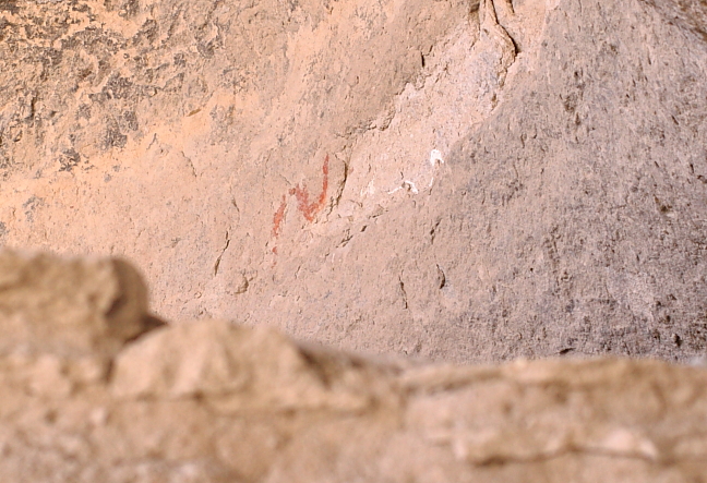
above the main corn storage room, there were two petroglyphs of snakes; one was the usual
red color, and the other one white. the guide wasn't sure which each color represented, but
in other parts of the dwellings there were red snakes (which might have meant a general 'danger -
keep out') and only in this spot was there a white snake. since it was over the main source of life
for them in the winter (the harvested corn), there may have been an even deeper protection
indicated by the white snake. it may have been the specific sign of the shaman or that
death would happen to anyone who stole any of, or violated the sanctity of the corn storage area
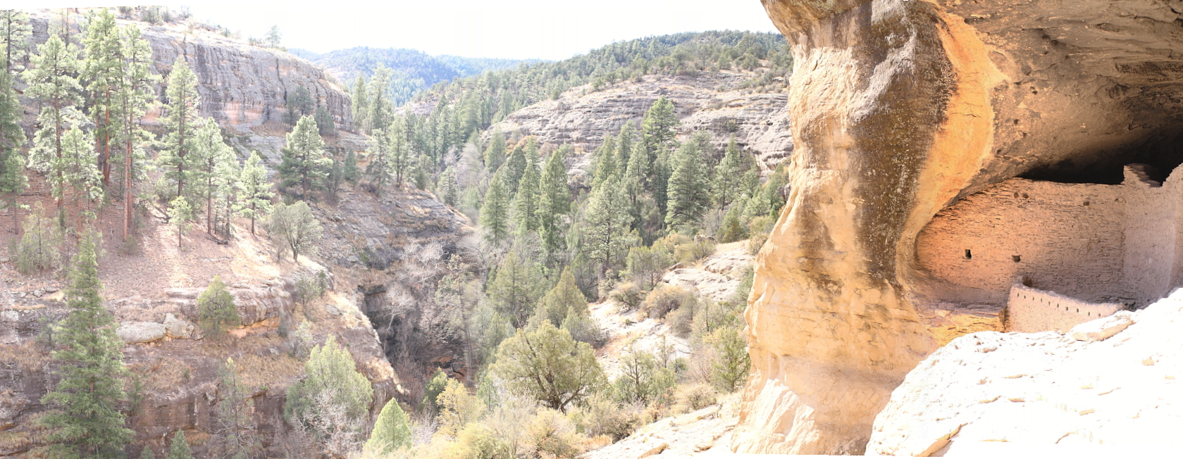
the westernmost edge of the caves, plus a view into and across the spring stream. across
the valley was the plateau where they grew their crops. when you can see how steep this
valley is, you can realize just how difficult it was to build this adobe settlement. each
tree had to be brought up to the caves for the roofs, and each block meant containers of mud
and water which had to be brought up and mixed together to make the abode walls and roofs; this
was a huge undertaking since there were no elevators, cranes or cement mixers
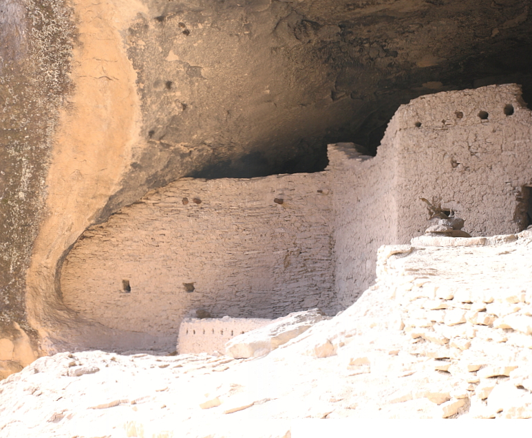
merged view of one of the largest adobe structures
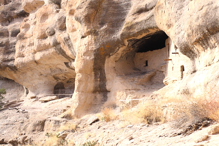
front view showing tourists paths
on the way back from the park, we saw some very nice views from the other direction
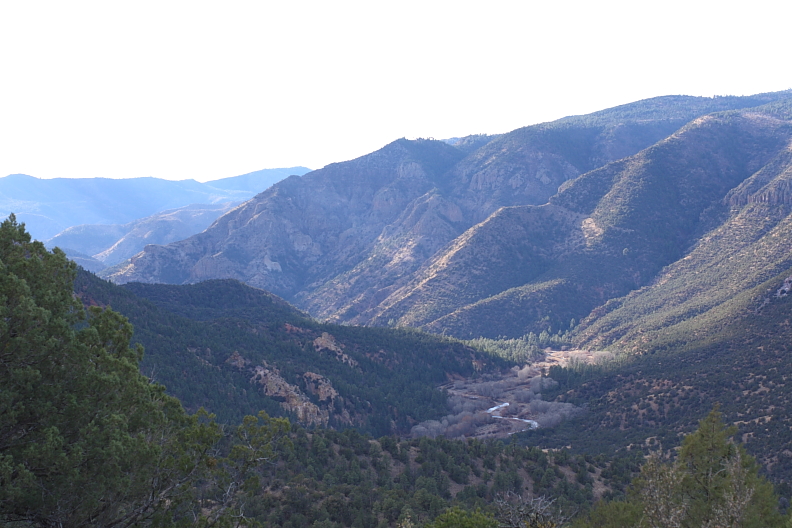
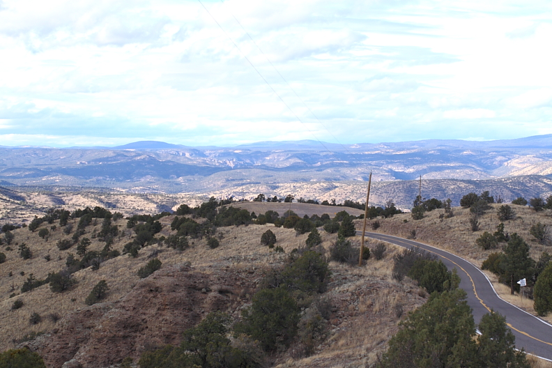
looking back, we could see the lower valleys where the gila cliff dwellings were found
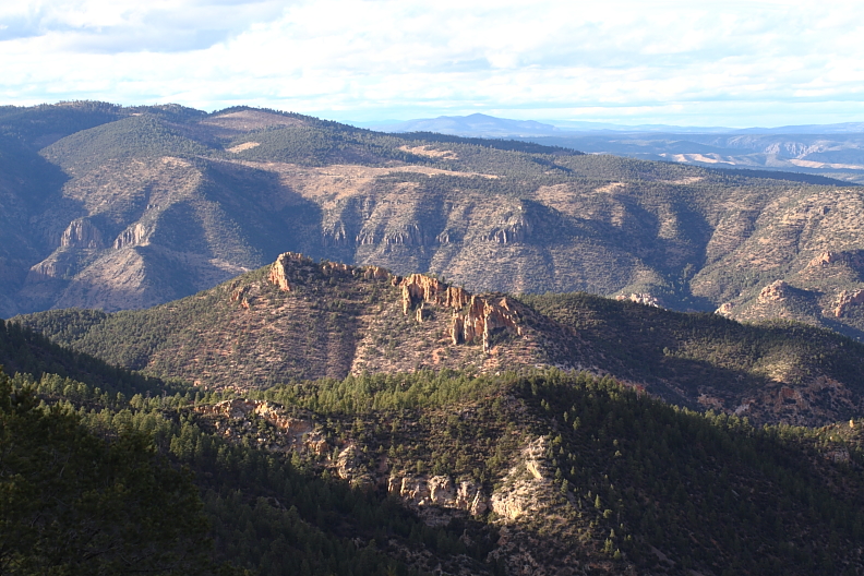
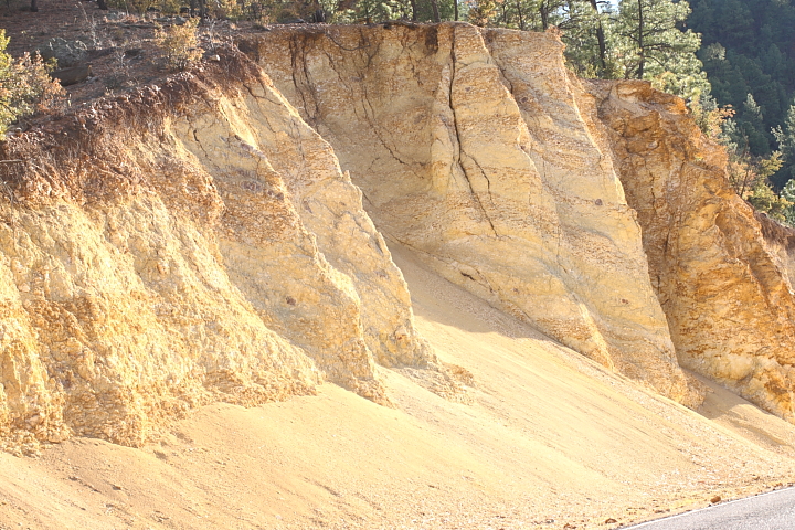
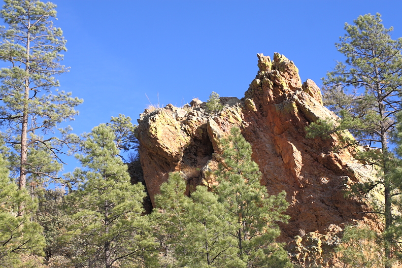
in different spots you could see rock formations with green patches on them. I was told that
copper was found in different parts of this area of the state, and I was wondering if these
green patches were because of lichens/moss or copper. in any case, they were interesting to look at
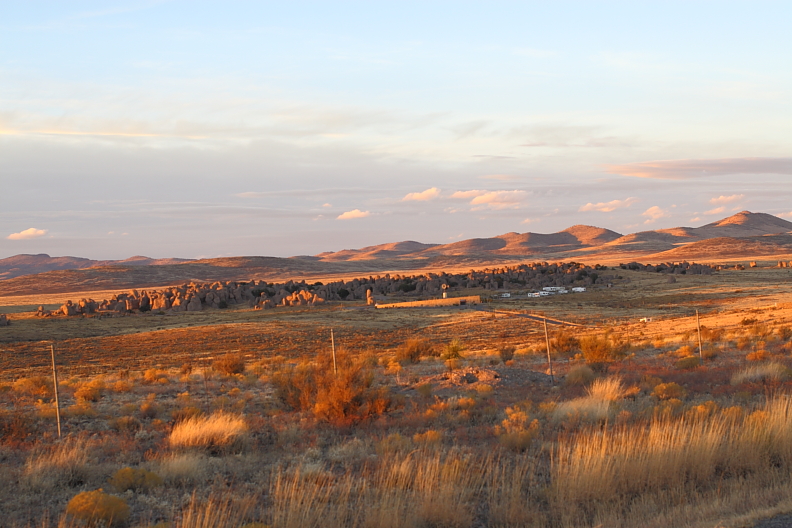
on the way back from the gila wilderness area, we traveled through an area where there
were irrigated apple orchards. a little ways away from deming, we were racing the sun
to get to a spot that my stepfather called the city of rocks state park. he called it a sort
of 'weird desert stonehenge' . as it is, it does look like the stone formations were
arranged, but it's more likely that they were just eroded where they were. the area has
been turned into a park complete with hookups for rv's! there was a visitor's center, but it was closed at the time
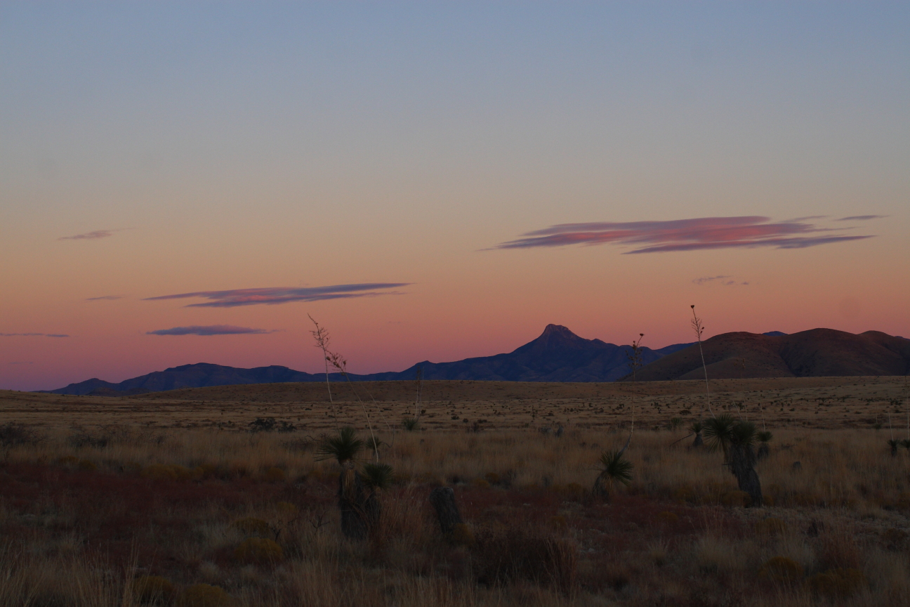
my last pic of new mexico! from the city of rocks park, you had a nice view of the cooke's peak
mountain range. as I watched and the sun set, the sky and mountain colors deepened into a
dark blue, purple and pink. new mexico has some of the most amazing colors in the rocks and
sky, and is the reason why so many people have moved to the southwest to follow their artistic ambitions
I hope you've enjoyed this extended view of my journey around new mexico; it was a lot of fun,
and I have a lot more to see someday!
(stay tuned, i'll have to start editing my pictures from wyoming)

above the main corn storage room, there were two petroglyphs of snakes; one was the usual
red color, and the other one white. the guide wasn't sure which each color represented, but
in other parts of the dwellings there were red snakes (which might have meant a general 'danger -
keep out') and only in this spot was there a white snake. since it was over the main source of life
for them in the winter (the harvested corn), there may have been an even deeper protection
indicated by the white snake. it may have been the specific sign of the shaman or that
death would happen to anyone who stole any of, or violated the sanctity of the corn storage area

the westernmost edge of the caves, plus a view into and across the spring stream. across
the valley was the plateau where they grew their crops. when you can see how steep this
valley is, you can realize just how difficult it was to build this adobe settlement. each
tree had to be brought up to the caves for the roofs, and each block meant containers of mud
and water which had to be brought up and mixed together to make the abode walls and roofs; this
was a huge undertaking since there were no elevators, cranes or cement mixers

merged view of one of the largest adobe structures

front view showing tourists paths
on the way back from the park, we saw some very nice views from the other direction


looking back, we could see the lower valleys where the gila cliff dwellings were found


in different spots you could see rock formations with green patches on them. I was told that
copper was found in different parts of this area of the state, and I was wondering if these
green patches were because of lichens/moss or copper. in any case, they were interesting to look at

on the way back from the gila wilderness area, we traveled through an area where there
were irrigated apple orchards. a little ways away from deming, we were racing the sun
to get to a spot that my stepfather called the city of rocks state park. he called it a sort
of 'weird desert stonehenge'
arranged, but it's more likely that they were just eroded where they were. the area has
been turned into a park complete with hookups for rv's! there was a visitor's center, but it was closed at the time

my last pic of new mexico! from the city of rocks park, you had a nice view of the cooke's peak
mountain range. as I watched and the sun set, the sky and mountain colors deepened into a
dark blue, purple and pink. new mexico has some of the most amazing colors in the rocks and
sky, and is the reason why so many people have moved to the southwest to follow their artistic ambitions
I hope you've enjoyed this extended view of my journey around new mexico; it was a lot of fun,
and I have a lot more to see someday!
(stay tuned, i'll have to start editing my pictures from wyoming)


